5 geographical maps - the Land of Israel, Jerusalem, and the Temple Mount. Various Puplishers, 19th century
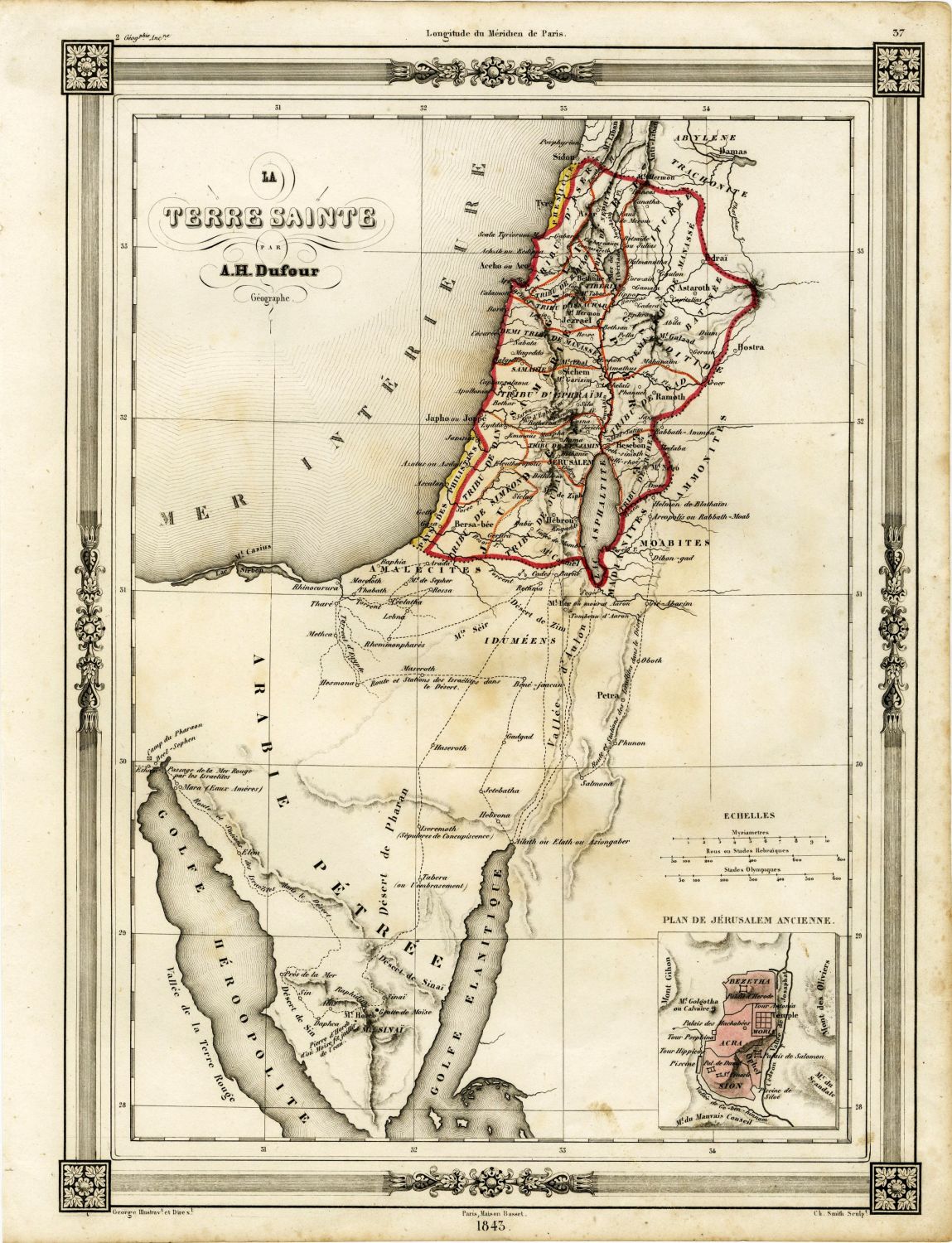
* TERRE SAINTE By A.H. Dufour. Paris 1843. 33x25 cm.
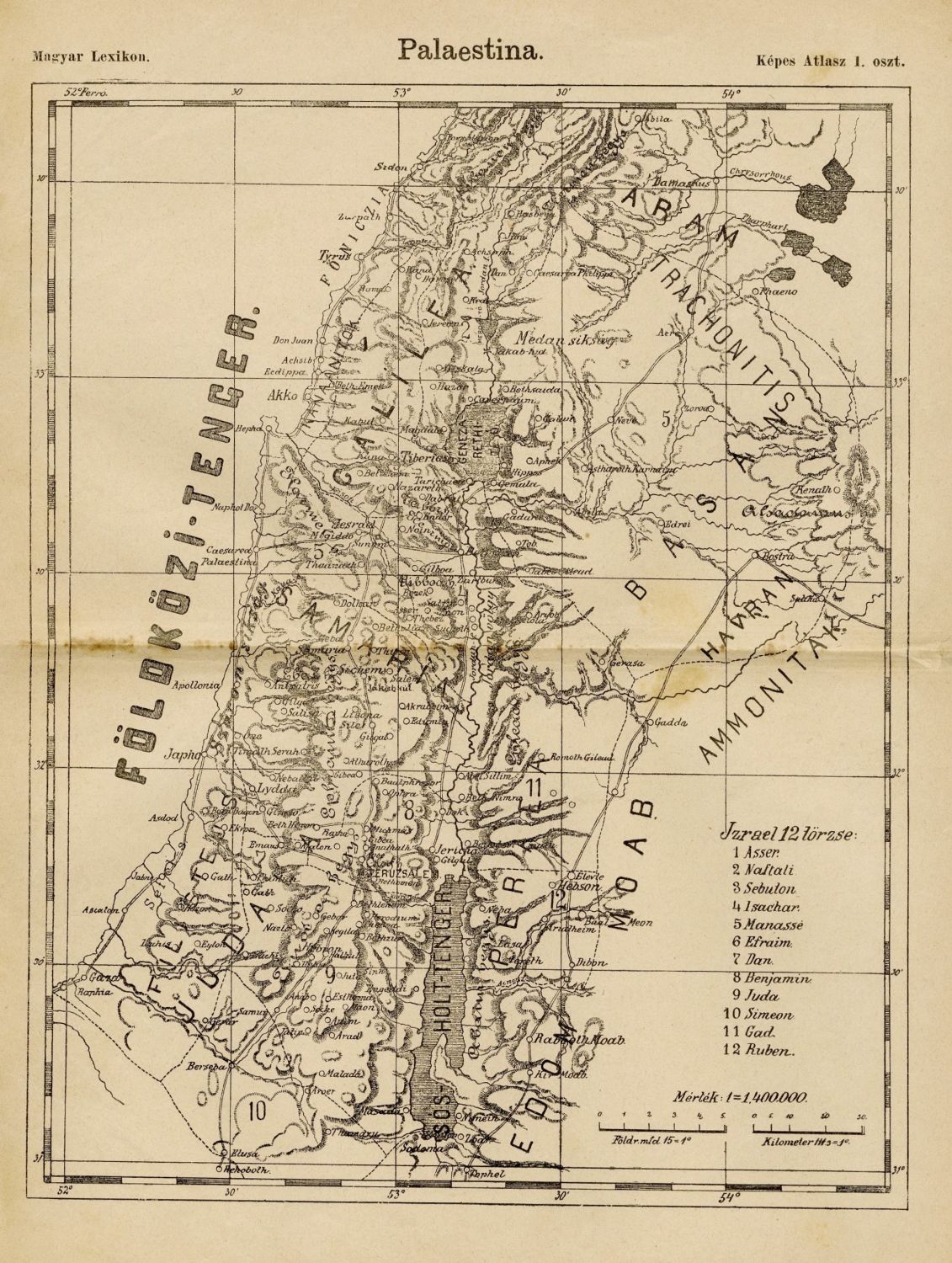
* Palaestina. Map of the Land of Israel. Hungary, 19th century. 29x20 cm.
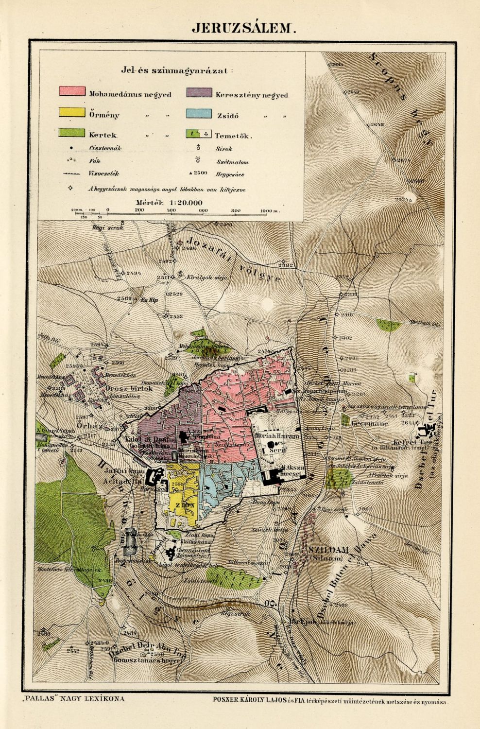
* JERUZSALEM. From PALLAS NAGY LEXIKON- a map describing Jerusalem and the temple site. 24x16 cm.
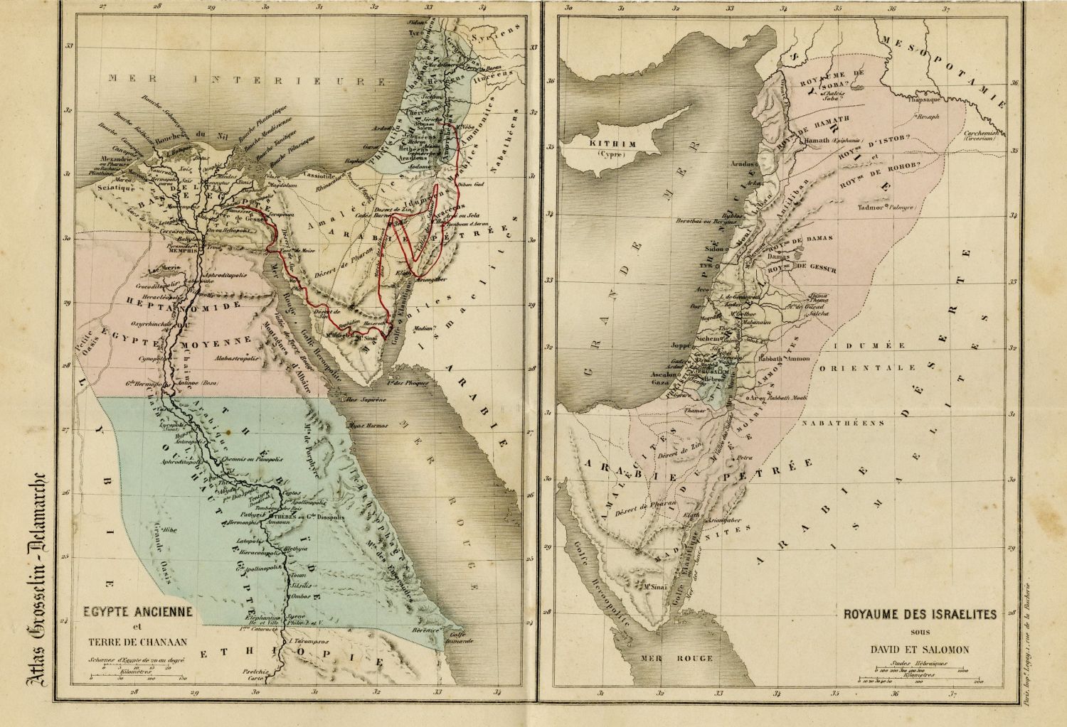
* ROYAUME DES ISRAELITES - Two parallel maps - Lithographic printing: Eretz Israel during the reign of David, and during the reign of Solomon. Paris, 19th Century. 34x25 cm.
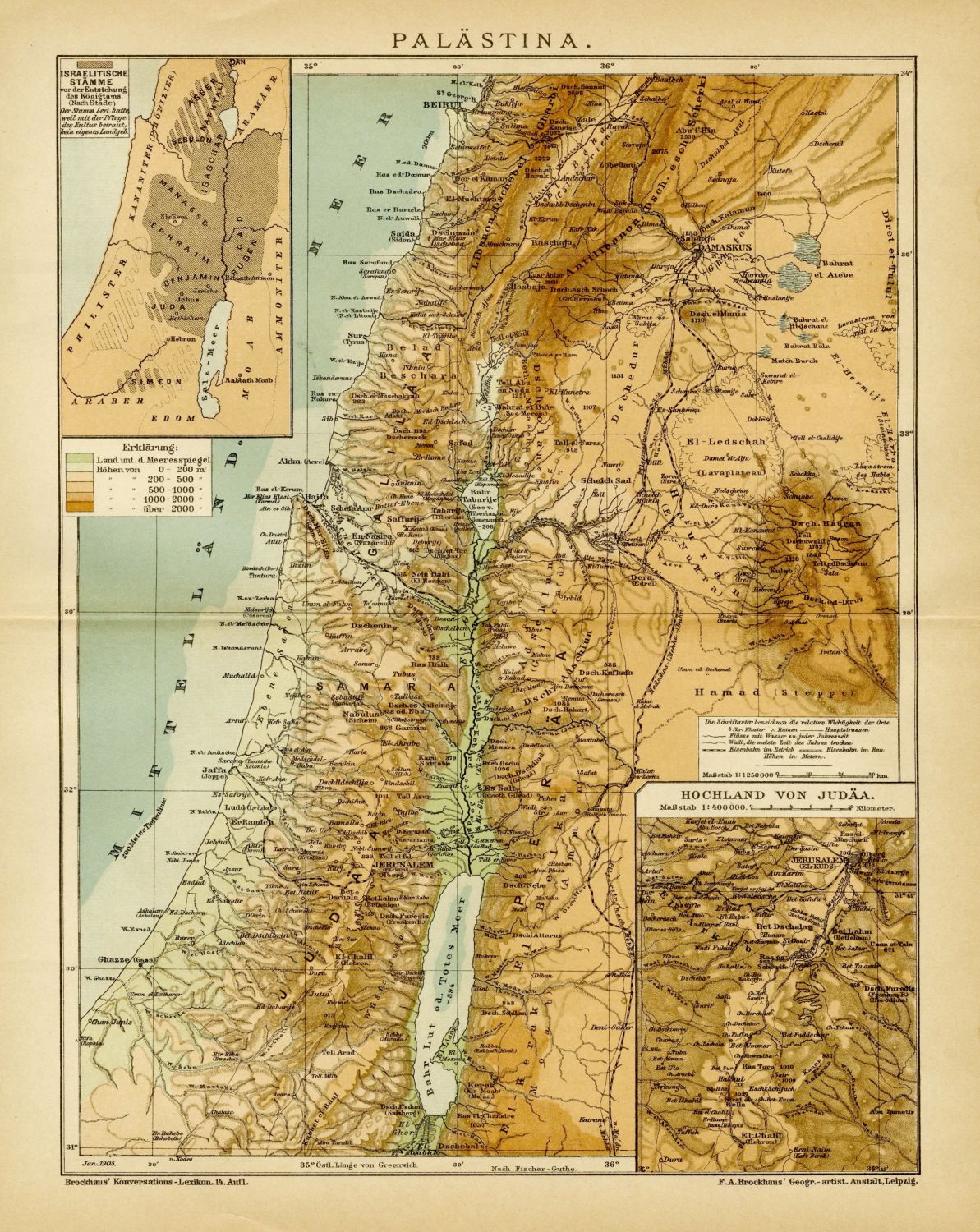
* PALASTINA - Map of the Land of Israel. Leipzig, c- 1900. 31x25 cm.
General very good condition.

