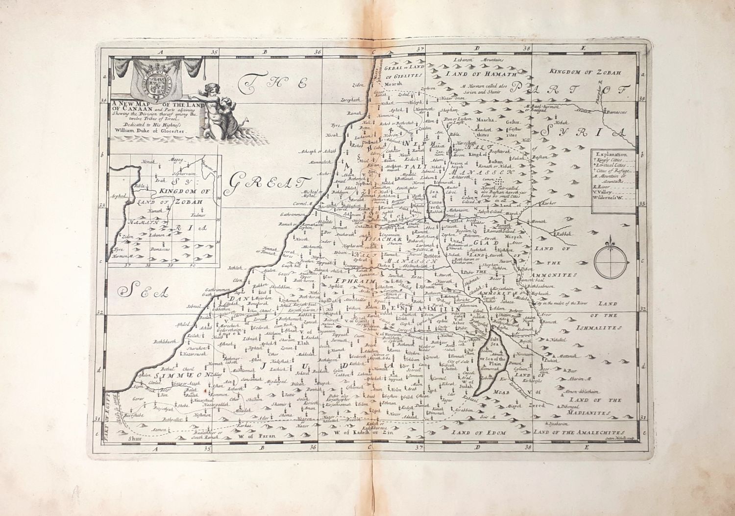
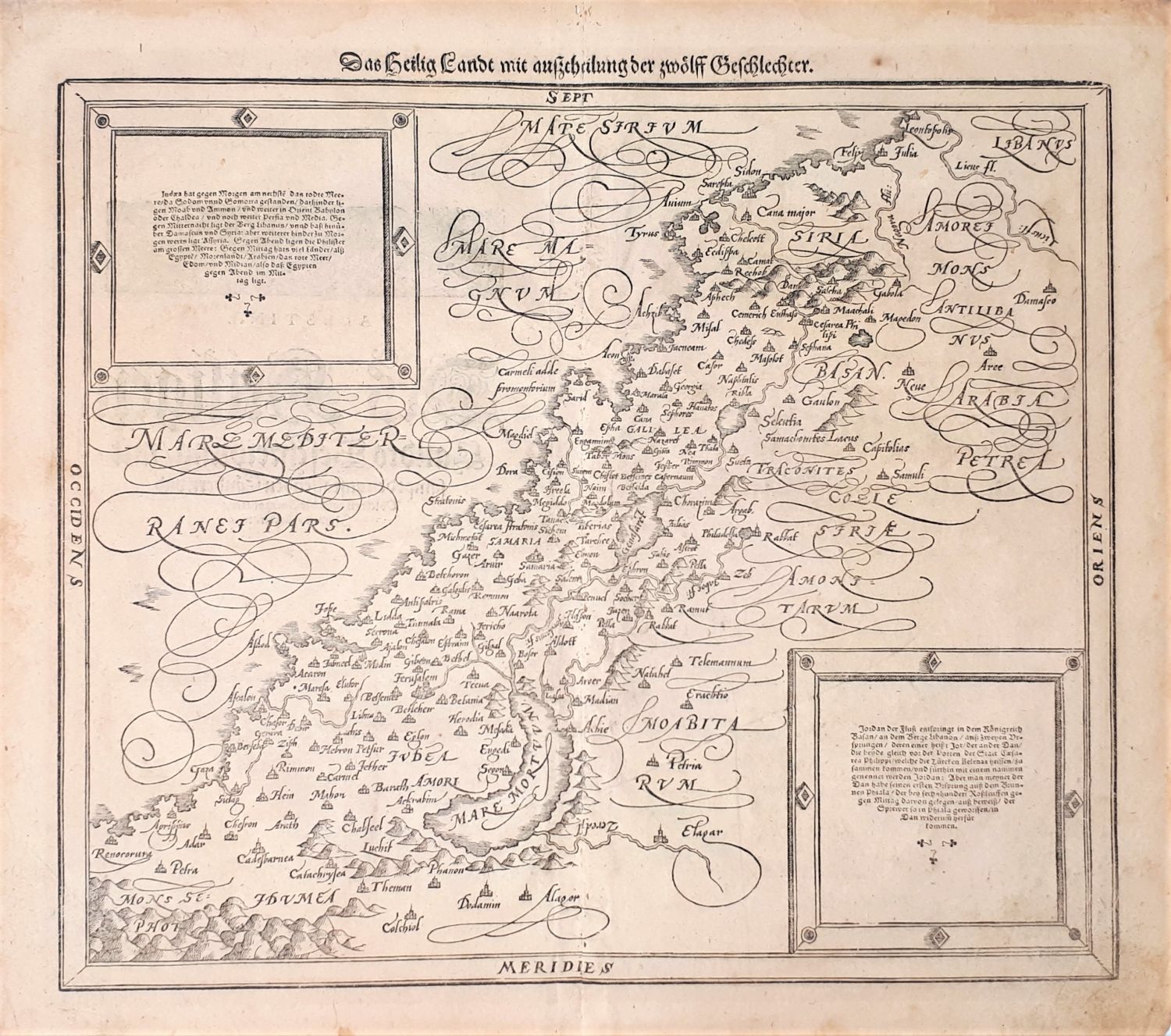
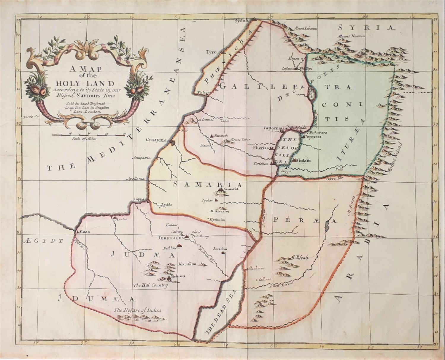
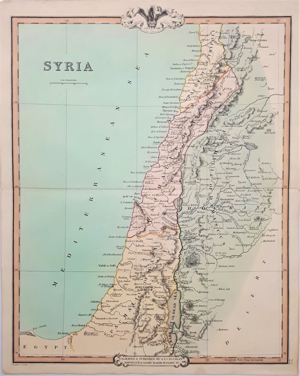
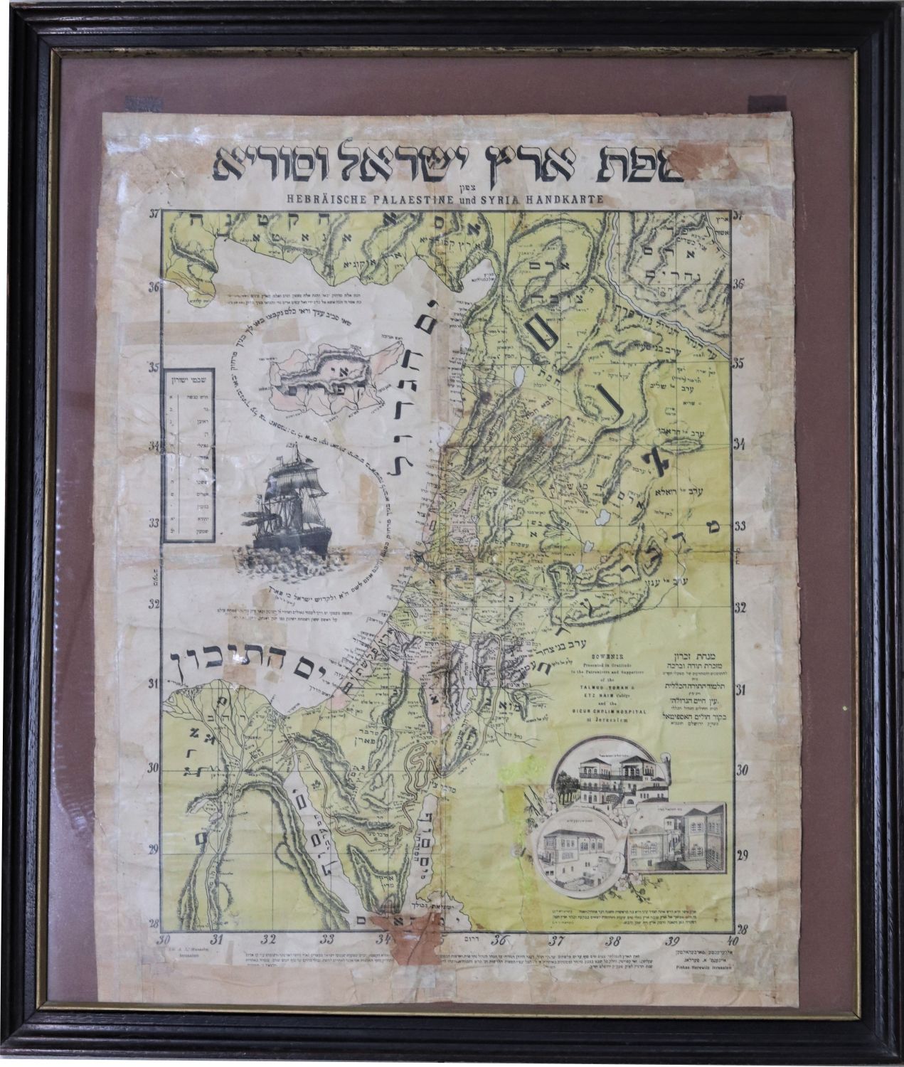
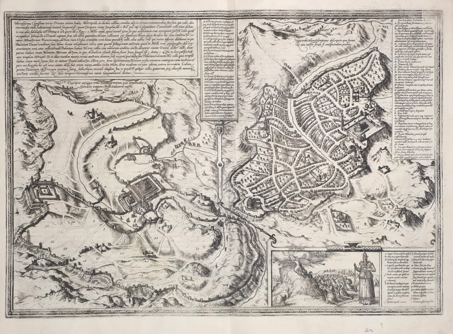
4 maps of Palestine [the Land of Israel], of which three are engravings. Three of the maps published in London.
* Das Heilig Landt mit außtheilung der zwoelff Geschlechter - the Holy Land with the division of the twelve tribes. Engraving from the book by Münster Sebastian "Cosmography", Basel 1593. German. Size: 36x41 cm.
* A map of the HOLY LAND according to its state in our Blessed Saviors Time ... Map of the Land of Israel, hand-painted etching. London, 18th century. Size: 44x35 cm.
* A NEW MAP OF THE LAND OF CANAAN Map of the Land of Israel - copper engraving. Map depicting the Land of Israel from north to south with scores of tribal lands, by Edward Wells, from a series of maps dedicated to William Duke of Glocester, London 1700. Map: 49x38 cm. Page: 68x47 cm.
* Colorful map of the Land of Israel ENGRAVED & PUBLISHED BY G.T. CRUCHLEY . London 1854. Size: 48x38 cm.
Some of the maps have slight stains. general condition good- very good.

