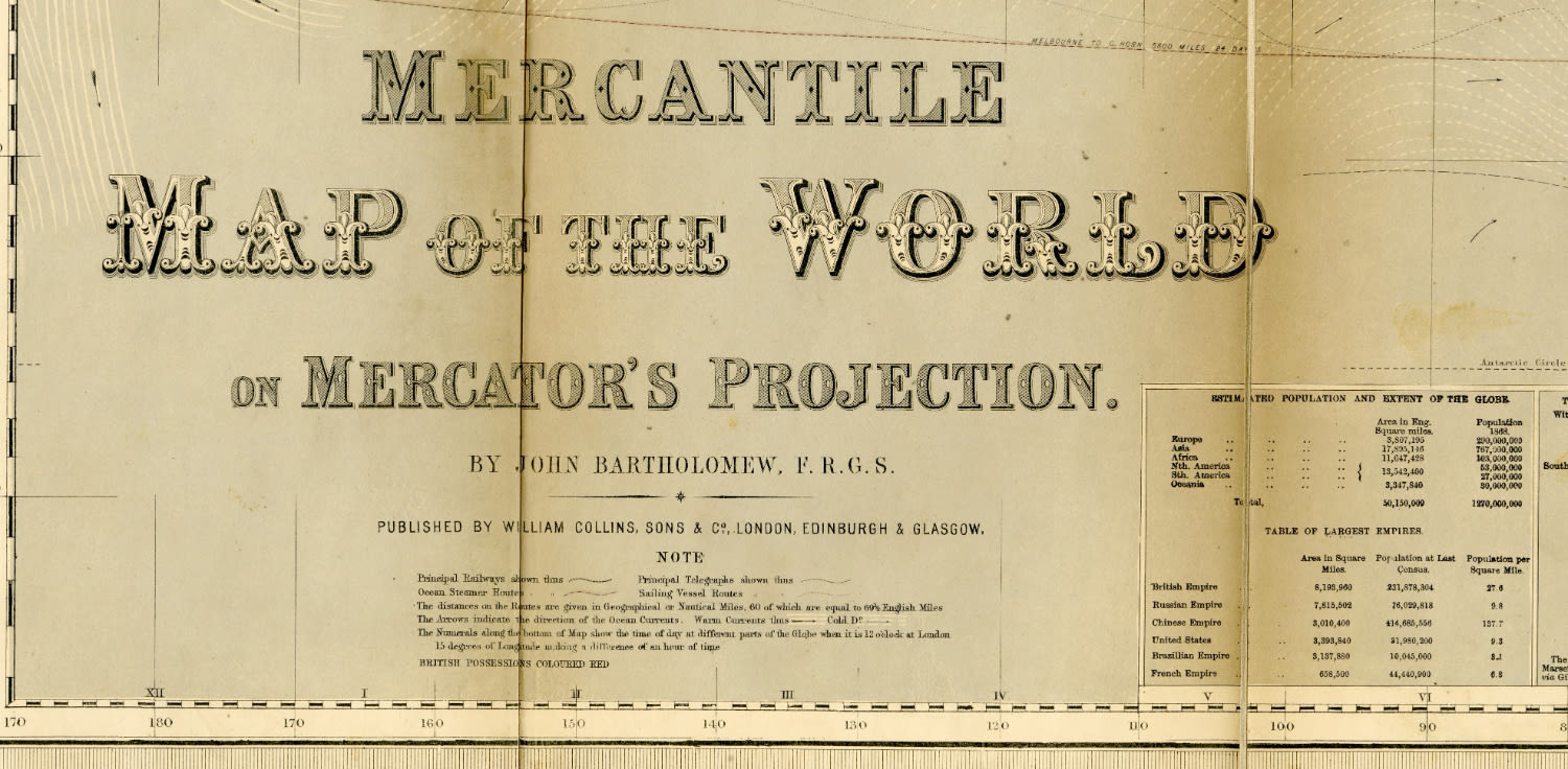
MERCANTILE MAP OF THE WORLD ON MERCATOR'S PROJECTION 1868 - Large, colorful world map, published by William Collins, Sons, & Co. London, Edinburgh and Glasgow, 1868.
Large World Map by Scottish Cartographer John Bartholomew (1831-1893). The map depicts the political boundaries of the countries and continents of the world in the second half of the 19th century, with the marking of railway tracks and main shipping lanes and a marking of marinas, telegraph lines, maritime currents, and more. At the bottom are various tables and 18 small maps of the territories and colonies under the control of the British Empire.
Map: 98X135 cm, attached to cloth, folded and enclosed in original cover in green with gilt inscription. Slight tears in the fold lines, stains, slight defects in cover. Good condition.


